|
Chongqing Gold Mechanical & Electrical Equipment Company
|
Geodetic Survey RTK GPS
| Price: | 1.0 USD |
| Payment Terms: | T/T,L/C,WU |
| Special Groups: |
H32 (29)
|
| Place of Origin: | Chongqing, China (Mainland) |
|
|
|
| Add to My Favorites | |
| HiSupplier Escrow |
Product Detail
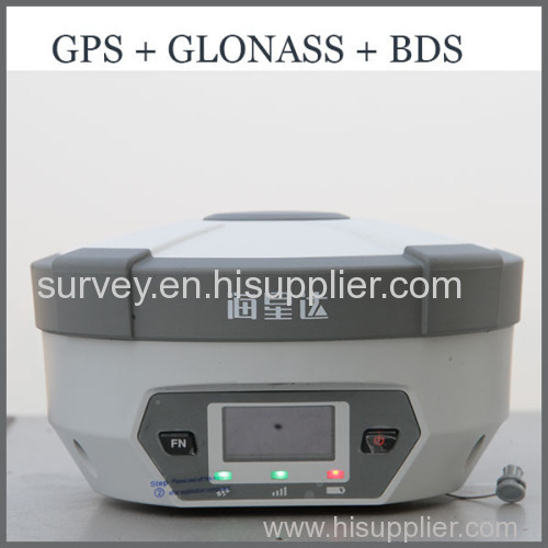
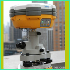
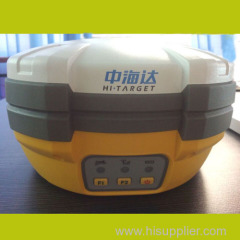
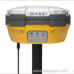
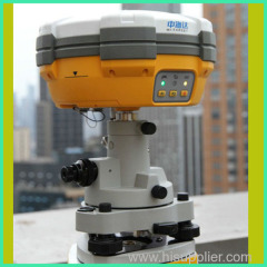
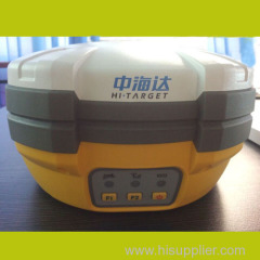
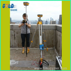
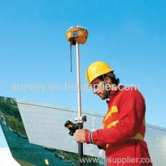
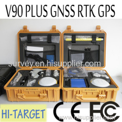
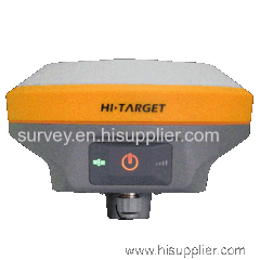
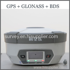
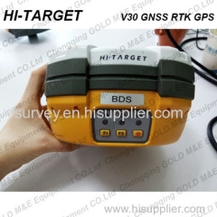
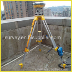
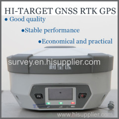
This kind of GNSS RTK GPS is light and flexible,it's widely used in surveying and mapping.It's a competitive products in the market.
Geodetic Survey RTK GPS
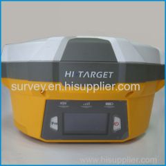
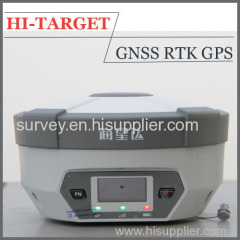
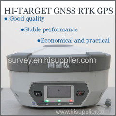
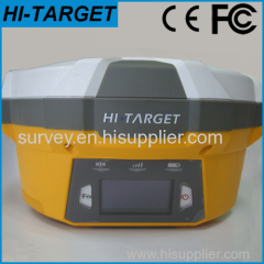
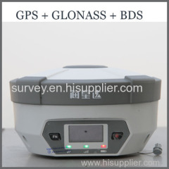
Originated from HI-TARGET's sophisticated GNSS technology, the H32 RTK GPS is a very competitive GNSS RTK system on the current market with its rugged design and affordable price.
The H32's housing is made of General Electric Xenoy 5220U polymer resin to handle severe and harsh filed conditions. With its unique internal design, it can perfectly avoid or lessen obstruction and multipath effect to ensure superior positioning capability.
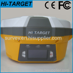
The H32 RTK GPS's front control panel with super bright OLED display screen (Resolution 128x64) makes the work more intuitive. No matter it is in the dark or strong sunshine, the screen is comfortably readable to eyes.
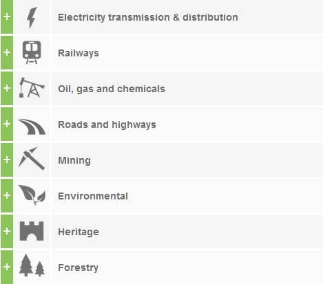
*Main Applications of the Geodetic Survey RTK GPS:
Construction stakeout
Rich point, line stakeout functions, combined with graphical user guidance to help you save more construction cost
Traffic Power
Convenient power direction finding, ranging, angle calculation function; comprehensive and practical road layout, the pile, pile edge measurement, vertical, cross-sectional measurements
CORS Application
CORS system for applications, just need one rover station can receive CORS RTK differential signal to do data collection, construction layout, etc.
CORS station
HD-CORS combines the advantages of HI-TARGET, such as mature technology, stable running, long distance transmission, etc., it is the solution of choice for a city to build a continuous reference station.
Control Survey
An investment, multiple functions, V30 GNSS RTK dual frequency static measurement accuracy meets the requirements of any control measure, supporting mature professional data solver software that can help you complete a variety of high-precision control measurements
Data collection
GIS-oriented system design hand book operating software, flexible encoding capabilities to meet your fast and efficient needs in data collection in the wild
Above Water Measurement
Work with HI-TARGET marine surveying, mapping software and echo sounder, easy to finish underwater topography measure, completely change the traditional mode of above water measurement and operation
Underwater Construction Positioning
With HI-TARGET marine construction positioning software, V30 GNSS RTK system could help you accurately complete riprap, arrangement, piling and other marine engineering, to meet the special requirements for marine engineering construction projects.
*Technical Parameter of the H32 RTK GPS:
| Measurement | • 120 Channels |
| • Proven NovAtel GNSS technology | |
| • Multipath mitigating technology | |
| • Auxiliary strobe signals, including a configurable output for time synchronization and mark inputs | |
| Satellite signals tracked simultaneously | |
| GPS: L1, L2, L2C | |
| GLONASS: L1, L2 | |
| Galileo: E1 | |
| GIOVE-A/GIOVE-B (test) | |
| BDS/Compass | |
| SBAS | |
| QZSS | |
| Positioning Perfromance | Static and Fast Static GNSS surveying |
| Horizontal: 2.5mm+0.5ppm RMS | |
| Vertical: 5mm+0.5ppm RMS | |
| Post Processing Kinematic | |
| *(PPK / Stop & Go) GNSS surveying | |
| Horizontal: 1cm+1ppm RMS | |
| Vertical: 2.5cm+1ppm RMS | |
| Initialization time: typically 10 minutes for base while 5 minutes for rover | |
| Initialization reliability: typically > 99.9% | |
| *Real-time Kinematic (RTK) surveying | |
| Horizontal: 10mm+1ppm RMS | |
| Vertical: 20mm+1ppm RMS | |
| Initialization time: typically < 10 seconds | |
| Initialization reliability: typically > 99.9% | |
| *Code Differential GNSS positioning | |
| Horizontal: 25cm+1ppm RMS | |
| Vertical: 50cm+1ppm RMS | |
| SBAS: 0.60m Horizontal | |
| Hardware | Physical |
| Dimensions (w x H): 16.5 cm x 10.5 cm (6.50 in x 4.13 in) | |
| Weight: 1.75kg (3.86lb) with internal battery, internal radio, standard UHF antenna | |
| Operating temperature: -45℃to +65℃ (-49℉ to +149℉) | |
| Storage temperature: -55℃ to +85℃ (-67℉ to +185℉) | |
| Humidity: 100%, considering | |
| Water/dustproof: IP67 dustproof, protected from temporary immersion to depth of 1m (3.28ft). | |
| Shock and Vibration: Designed to survive a 2m (6.56ft) natural fall onto concrete. | |
| Display: 128×64 resolution, 1.54 inch OLED screen | |
| Electrical | |
| Power 6V to 28V DC external power input | |
| Power consumption 2.5W | |
| Automatic Switching between internal power and external power | |
| Rechargeable, removable 7.4V, 4400mAh Lithium-Ion battery in internal battery compartment | |
| Internal battery life | |
| Static 13 - 15 hours | |
| RTK Rover (UHF/GPRS) 10 - 12 hours | |
| RTK Base 8 - 10 hours | |
| I/O interface | |
| 1 x Bluetooth | |
| 1 x standard USB2.0 port | |
| 2 x RS232 serial port | |
| 2 x DC power input (8-pin & 5-pin) | |
| Communication and Data Storage | GPRS/GSM |
| Fully integrated, fully sealed internal GPRS/GSM | |
| Network RTK (via CORS) range 20-50km | |
| HI-TARGET internal UHF radio (standard) | |
| Frequency: 460 MHz with 116 channels | |
| Transmitting Power: 0.1W, 1W, 2W adjustable | |
| Transmitting Speed: Up to 19.2Kbps | |
| Working range: 3~5Km typical, 8~10km optimal | |
| HI-TARGET External UHF radio (standard) | |
| Frequency: 460 MHz with 116 channels | |
| Transmitting Power: 5W, 10W, 20W, 30W adjustable | |
| Transmitting Speed: Up to 19.2Kbps | |
| Working Range: 8~10Km typical, 15~20km optimal | |
| Support other external communication device | |
| For example, external GSM modem. | |
| Data storage | |
| 64MB internal memory | |
| Data formats | |
| (1Hz positioning output, up to 50 Hz - depends on installed option) | |
| CMR: CMR+, CMR input and output | |
| RTCM: RTCM 2.1, 2.3, 3.0, 3.1 input and output | |
| RTCA: RTCA | |
| Navigationoutputs: NMEA-0183, NovAtel ASCII and Binary logs |
*Contact US


